Overview
Walk Grade: Moderate/Hard
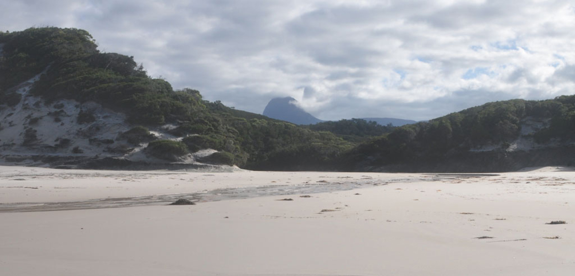
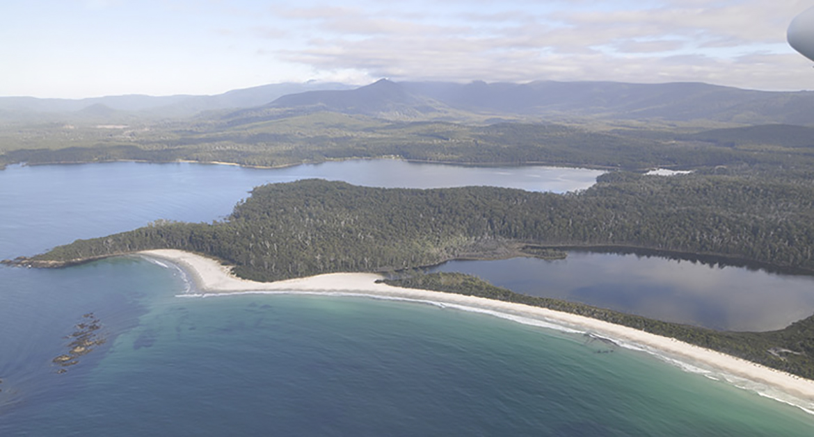
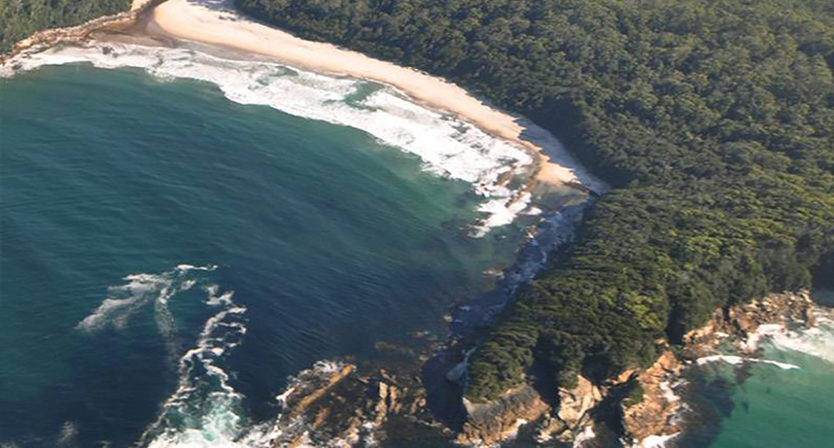
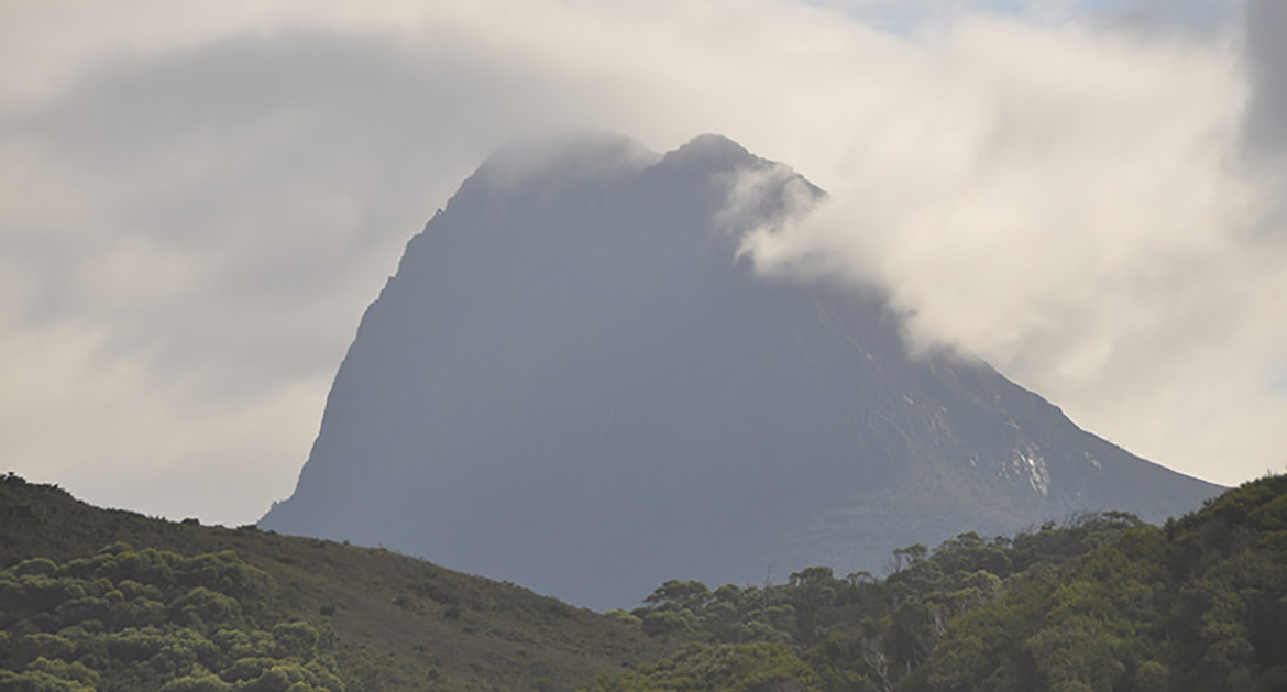
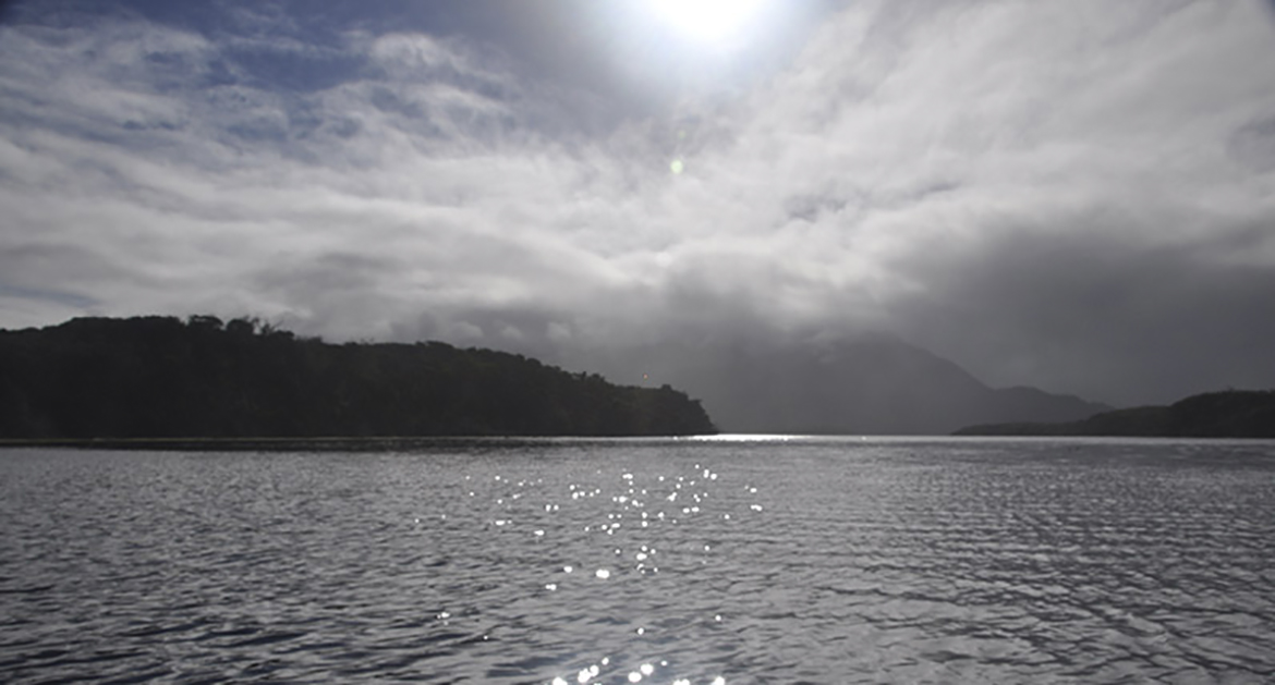
Our South Coast Track tour is truly an ‘expedition’. A spectacular flight from Hobart and over the route begins a real appreciation of this wild and remote wilderness. Our walk departs from historic Melaleuca Inlet (on Bathurst Harbour). Over the next nine days from here, 80km to Cockle Creek, we traverse an amazing variety of landscapes. White sandy beaches, rainforests and mountain streams as well as sub-alpine, perhaps snow covered heath to an altitude of over 1000 meters. The route has a rich history of both traditional and colonial influence and passing through an array of habitats with rare and unusual flora and fauna, the journey is a real ‘immersion’.
The terrain can be challenging. The walking days are not excessively long (average 4/5 hours) and we plan a rest day. Some sections involve steep ascents and rain can make others boggy or add delays at the various creek/river crossings. That said, there are also long stretches of easier track and beach walking and, with our guidance, the walk is suitable for those with little experience with a solid level of fitness and perseverance. The accomplishment and experience are well worth the effort.
Map Sheet Tasmap 1:100000 ‘South Coast Walks’
South Coast Track- John & Monica Chapman
DAY ONE
Distance: 11 km
Estimated Time: 5-6 Hours
We pickup from Hobart city accommodations starting from 7.30am for transport to Cambridge Airport. Following a brief introduction and outfitting we will board our plane for the spectacular 40min flight along the South Coast (or alternatively along the south west mountain ranges) to the trail-head at Melaleuca Inlet. The walk for the afternoon involves an easy ramble from the harbour south to Point Eric on Cox Bight.
Day Two
Distance: 12 km
Estimated Time: 4 Hours
Warming up with a beach stroll the track turns inland and a short ascent into The Redpoint Hills. The track is relatively easy going as it meanders across open undulating plains. Our destination is normally Louisa Bay, a side-trip from the main track but a highlight of beauty and an interest of aboriginal history and culture. Our first major obstacle is the Louisa River which empties into the bay and we make a decision to skip Louisa Bay if the weather is threatening a delay at the river. We otherwise spend a night at each.
Day Three
Distance: 9 km
Estimated Time: 3-4 hours
The Ironbound range dominates the eastern skyline throughout the day. Louisa River is a major watershed and a verdant corridor on the coastal plains. We head back inland across buttongrass plains to our campsite on the Louisa River at the base of the range. We camp among majestic eucalypts and and mixed rainforest canopy by the riverside.
Day Four
Distance: 12 km
Estimated Time: 9-10 hours
Following an early breakfast we start on the almost immediate 1000m ascent to the top of The Ironbound Range. The climb, to the highest point on our journey, sees us ascend from coastal plains to sub alpine heath, the contrast and views while crossing the range make up for the effort. While the ascent is well graded with sections of benched track the descent back to the coast includes rainforest, roots and muddy sections. No doubt this is one of the harder days on the track.
Day Five
Rest Day
If we haven’t needed this extra day (from any delays at various creek and the river crossings), this is our ‘rest day’. The campsite is well positioned and can be a chance to dry clothing or relax and take a deserved break. You may like to try your hand at fishing or explore the nearby coast.
DAY SIX
Distance: 9-11 km
Estimated Time: 4-5 Hours
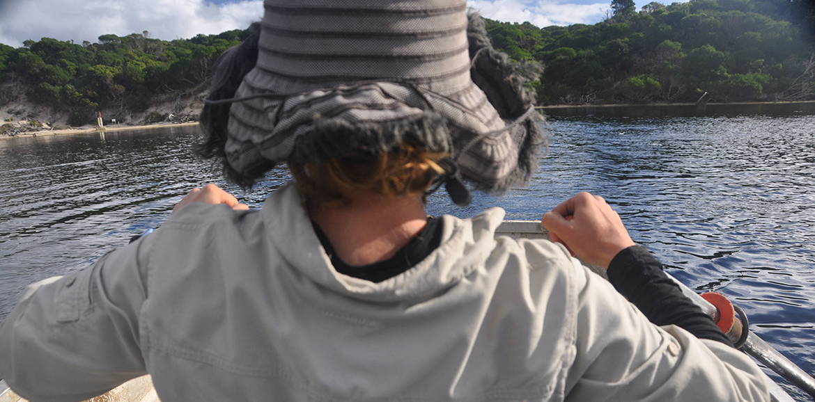
We head around the bay and over Menzies Bluff, along the coast we find ourselves on Prion Beach a 6km jewel of white sand stretching to the mouth of New River Lagoon. At the lagoon we board rowboats for the crossing then again climbing inland around Wierah Hill and diverting to before diverting to the nights camp at beautiful Osmiridium Beach.
DAY SEVEN
Distance: 10 km
Estimated Time: 4-5 Hours
Forested ridges and small bays include views to spectacular sea cliffs. A shorter day which allows time to explore Surprise Bay with its rich fossil record and immerse in a range of habitat as we cross the headland to Shoemaker Bay and our campsite above Granite Beach. A great site above a setting of jumbled boulders and a backdrop of the towering fluted cliffs, the culmination of the end of the South Cape Range.
DAY EIGHT
Distance: 10 km
Estimated Time: 7-8 Hours
A day of challenge, we cross the second major obstacle of the South Coast Track, South Cape Range. Views over the South Cape and north to Pindars Peak and other challenging icons of the southwest can ease the effort of crossing the range . The track eventually gets easier as we drop down to drier rolling hills and our campsite immediately following a wade through the breakers of South Cape Rivulet… we are almost there!
DAY NINE
Distance: 10 km
Estimated Time: 4-5 Hours
An easy beach stroll with some short climbs over sand dunes and Coal Bluff. We pass Lion Rock and turn inland. A couple of ambling hours on boardwalk and formed track heading north through Blowhole Valley brings us out at Recherche Bay and Cockle Creek. Our bus journey back to Hobart can be with mixed feelings as we approach civilisation. This true wilderness journey will no doubt leave memories revisited over a lifetime.
Our listed tour price includes:
- Pre-trip planning and advice.
- Transport to/from trail-head from Hobart
- Airfares into Melaleuca.
- Comprehensive equipment – High quality gear that will keep you safe in all conditions. You’ll need to bring footwear and personal clothing (socks, underwear, base layers and a fleece).
- All permits and insurances as required (we recommend you also obtain some form of additional personal travel/property insurance).
- All meals provided and prepared for the duration of the tour (most diets can be catered for, just ask).
- Experienced guides who carry most meals*, group equipment, communications and safety gear.
- *3kg of food will need to be carried by each participant
For our guided walks the majority of your gear is provided as part of the tour cost. We do this to ensure everyone is properly outfitted to a similar standard.
Our gear selection has been finetuned through decades of experience and experimentation in Tasmanian conditions. We use high-end, lightweight products that strike the perfect balance between weight, functionality and comfort.
A 13-14kg pack weight (without water) is achievable by sticking closely to our recommended gear list. You are welcome to bring your own alternative equipment and discuss its suitability with our guides. It is advisable to bring any extra personal items you are unsure taking, as we can store unwanted items until the end of the trip.
Gear Provided
- Tent (twin- share or single)
- Groundsheet
- Backpack (50L -internal frame pack and liner bag)
- Mattress (insulated/inflatable)
- Sleeping Quilt (-9c, high-loft down, water repellent.
- Sleeping bag liner (silk)
- Waterproof Jacket (Goretex or Event jacket with hood)
- Waterproof over-pants
- Head-torch (Small LED headband torch & attached whistle)
- Water bottle (1L).
- Meal kit (bowl/plate/mug/spork).
- Toilet roll & hand sanitiser.
- Microfibre towel
- Insulated jacket (or your own equivalent, preferably down or synthetic insulation)
- Fleece mittens
***For the South Coast Track you will need to carry an additional 3kg of food***
Optional Gear Provided:
These are included in the tour price
- Gaiters (nylon boot & sock covers)
- Day pack (lightweight / ultra-packable 20L backpack for optional side-trips)
- Crocs (camp shoes)
- Wash basin (personal basin to collect water for washing)
- Walking Poles (recommended if you have any former lower leg or balance issues)
Personal Items:
- Walking boots/shoes (these should be comfortably worn in, but not so old that glue failure is a risk. Low cut shoes are acceptable for those used to bushwalking in them, however they may not be compatible with gaiters.)
- Long pants or shorts (synthetic fibers are best, NOT COTTON as it is slow to dry and saps warmth)
- Underwear
- Thermal top and bottoms
- Shirt for walking (synthetic or wool, NOT COTTON as it is slow to dry and saps warmth)
- Light fleece or wool jacket (for walking on colder days)
- Socks- 2-3 pairs (NOT COTTON, one pair to be kept dry for evenings)
- Sun hat
- Beanie
- Toiletries (please do not bring soap)
- Toothbrush and toothpaste
- A small tube of sunscreen
- Personal medications/sanitary items*
*Please bring personal pain relief. Also consider personal antihistamines, diarrhea medications and re-hydration salts (in addition to more specific personal medications). Guides carry bandages, tapes, dressings and antiseptic paste as well as some emergency medications.
Most Tasmanian walkers and don’t use water purification products, as water sources in wilderness areas are generally safe. However you are welcome to bring them for peace of mind (tablets will suffice).
The South Coast track is a challenging walk. It is remote, rough and requires long days. Due to the requirement of carrying additional food, pack weights will be slightly heavier than on our other trips (13-14kg if our packing list is followed closely). The remoteness, length of the trip and lack of infrastructure means we must be able to deal with all weather conditions and eventualities. Delays are possible due to flooded rivers and other dangerous conditions. It is only recommended for those with a good level of fitness who have some experience with multi-day hiking.
Wilderness Expeditions classifies the South Coast Track as Moderate/Hard. Most days would be considered “moderate”, but some border on “hard” due to their length, elevation gain and the rough, muddy nature of the track. This classification system is specific to the tours Wilderness Expeditions runs in Tasmania, and as there is no universal classification for walking tracks, what we consider “moderate” could be far more difficult than what is considered “hard” elsewhere.
Moderate
Moderate walks are on tracks that are rougher underfoot and require bigger days. Roots, broken rocks and shallow mud will be encountered, and walkers will need to move slowly and carefully. There will be more time spent walking each day (6 hours or more) and longer distances will be covered (above 15 km). Elevation gain will be greater (more than 500m) and there may be sustained, steeper sections where hands are needed for balance. There may be exposed sections of track where the full force of bad weather will be felt. These walks are suitable for adventurous first-time walkers with a moderate level of fitness.
Hard
Hard walks are on very rough tracks that involve deep mud, overgrown vegetation and steep, difficult terrain. Longer days (8 hours or more) will be required to cover the minimum distances between campsites and the pace will be a little faster out of necessity. Significant elevation gain (up to 1000m) may be necessary and steep sections can be long and relentless. No climbing experience is necessary, but walkers must be comfortable scrambling over rough terrain with some exposure. On walks of this difficulty, walkers may be required to carry a small portion of the food, resulting in heavier packs. Hard walks are only suitable for those with good fitness and previous bushwalking experience.


