Overview
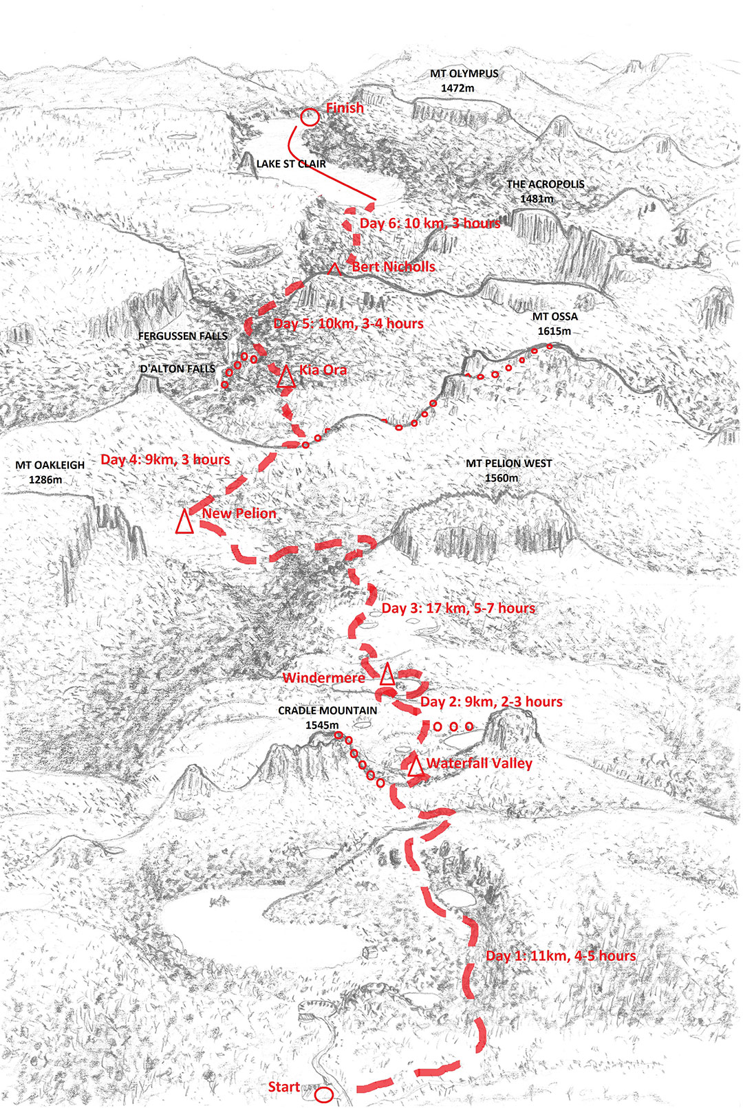
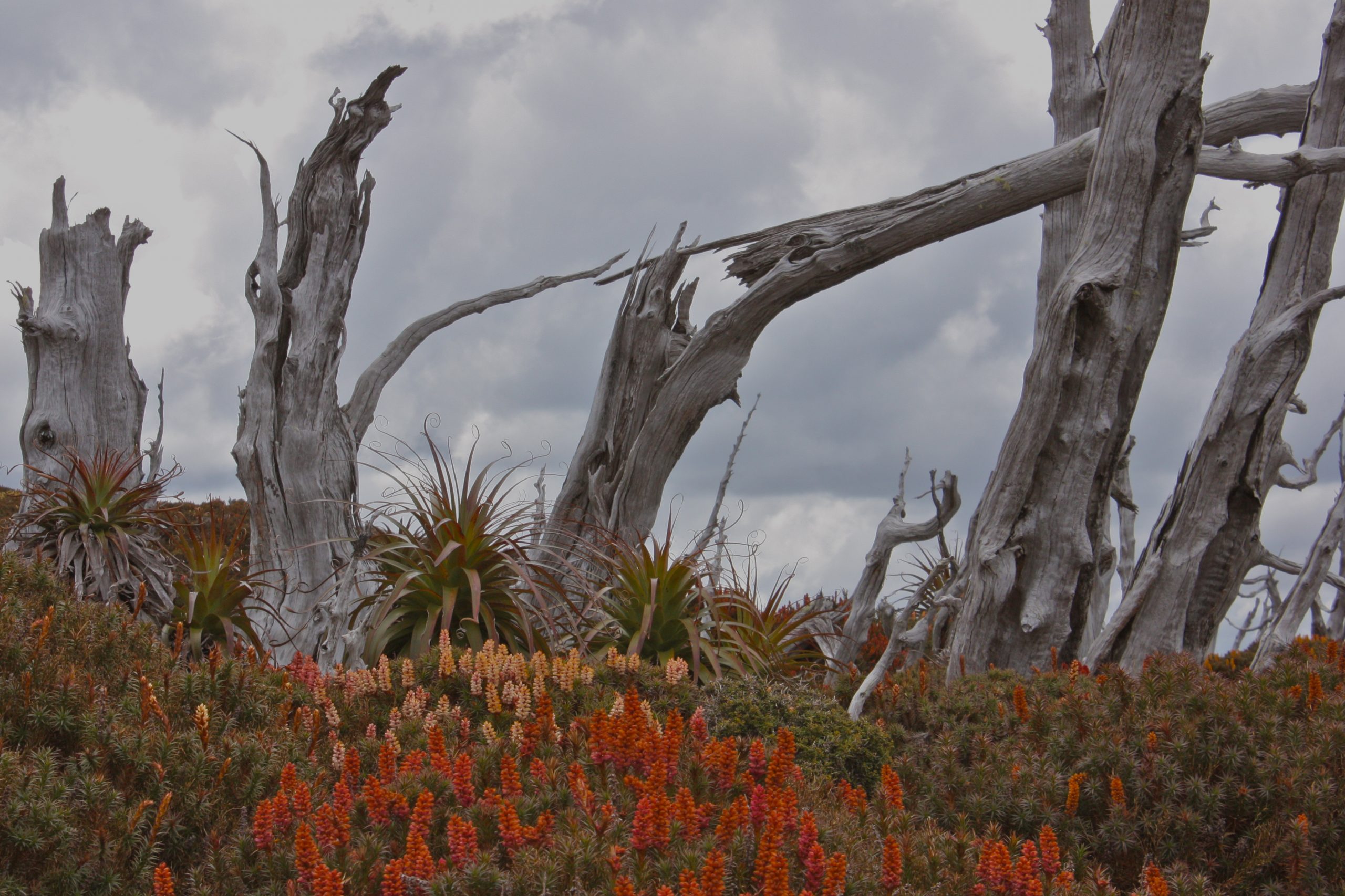
From the foothills below Cradle Mountain in Tasmania’s central north west, The Overland Track heads roughly 65kms south to the northern shores of Lake St. Clair (Leeawuleena). Along the way it passes through some diverse, spectacular and unique landscapes, including vast sub-alpine moors and dramatic mountain passes, dense mossy rainforest and majestic eucalypt woodlands. With a chance to climb lofty peaks off the main route, including Tasmania’s highest (Mt Ossa), visit pristine lakes and awesome waterfalls, and looking back from the ferry ride along beautiful Leeawuleena, it is easy to see what draws people from around the world to experience this incredible journey.
While there are some longer days walking, rougher track sections and challenging climbs this is graded from easy/moderate, an entirely on-track walk suitable for adventurous and moderately fit first timers.
Pick-up from either Hobart or Launceston, drop-off in Hobart
2024-25 Departures:
- October 14th -20th 2024
- October 27th – Nov 2nd 2024
- November 7th – 13th 2024
- November 26th – December 2nd 2024
- December 26th 2024 – January 1st 2025
- January 14th – 20th 2025
- January 30th – February 5th 2025
- February 13th – 19th 2025
- February 25th – March 3rd 2025
- March 7th – 13th 2025
- March 18th – 24th 2025
- April 2nd – 8th 2025 (Women’s Trip)
Map Sheet Tasmap Cradle Mountain/Lake St Clair NP Map 1:100000
‘The Overland Track’ – Frank & Sue Wall (ebook)
‘The Overland Track’ – Warwick Sprawson
‘Overland Track’ – John & Monica Chapman
First Day
We pick up from Hobart (11:00 am) and or Launceston (2.00pm) and drive to our accommodation at Cradle Mountain. Travel takes around 2 1/2hrs and the briefing and equipment outfitting takes an hour or so. Guides will prepare a hearty meal along with a sample of local wines. You’ll have the entire evening to fine tune your packing as any extra luggage can be left on the bus (to be stored securely and reunited with you at the end of your walk).
Walking Days:
Day 1: Start- Ronny Creek to Waterfall Valley (11klm)
Day 2: Waterfall Valley to Windermere (9klm)
Day 3: Windermere to Pelion (17klm)
Day 4: Pelion to Kia Ora (9klm)
Day 5: Kia Ora to Windy Ridge (10klm)
Day 6: Windy Ridge to End- Narcissus (9klm)
DAY ONE
Distance: 11 km
Estimated Time: 5-6 hours walking + optional side tracks
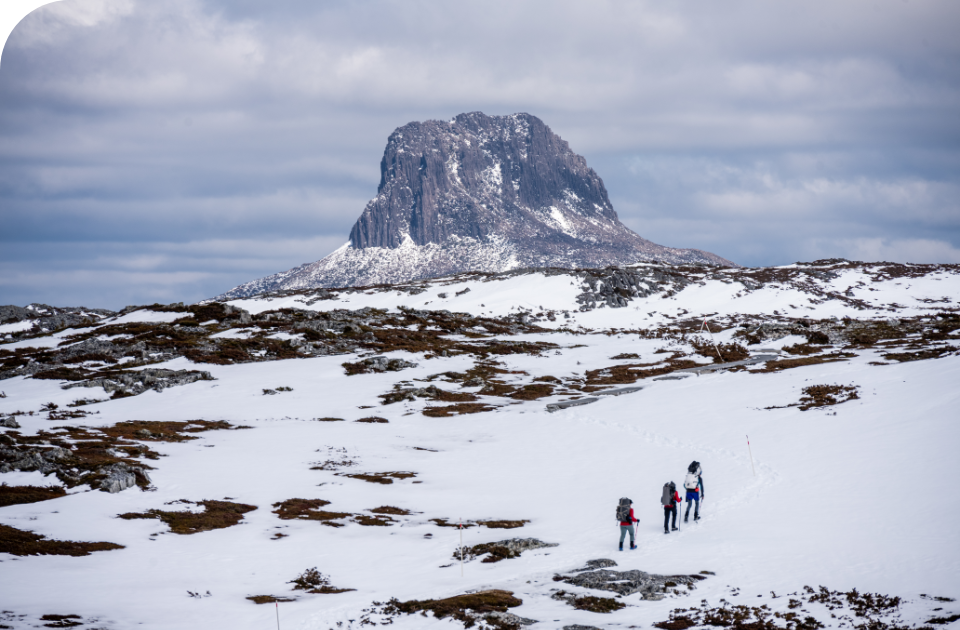
After breakfast you’ll have time to complete your packing, then we will set off for the steady climb up onto the Cradle plateau via Marion’s Lookout. Steep in parts, though well contoured, the track passes waterfalls, glacial lakes and meanders through open buttongrass and alpine heath with occasional forested groves. Once on the plateau you will be surrounded (in good weather) by grand views of near and distant mountain ranges. Shimmering lakes below and craggy peaks ahead, especially the crags of Cradle Mountain dominating the foreground. Kitchen Hut, near the Cradle Mountain summit turnoff, is a great setting for a longer break, perhaps lunch if the timing is right. If conditions allow, those who are interested will have the option to climb to the summit of Cradle Mountain with day packs (3-4 hours return). From here, The Overland Track traverses the western flanks of Cradle Mountain to Benson’s Peak and around the rim of an impressive carved glacial valley head (‘cirque’) below Mt. Emmet. The walking from here, on timber tracks, allows a chance to take in the views, the scenery opens to reveal distant ranges and the route to be taken over the next few days. Barn Bluff looms closer as we near the descent to Waterfall Valley. Down through Fagus and Pandani groves and to our first overnight stop on the forested edge of the valley floor.
Day Two
Distance: 9 km
Estimated Time: 2.5 – 3 hours + optional side tracks
Today we start with a short diversion to take in the waterfalls in the valley before we head off across ridges and undulating button grass plains that will be with us for the rest of the day. This is shorter day, a more leisurely ramble in which we shake out the strains of the first day and take our time over lunch in a sheltered setting near the main track.. In the afternoon we cross further open country with expansive views of mountain ranges to come. Mid afternoon usually has us descending to our campsite among the Eucalypts near Lake Windermere (another welcome swimming opportunity on warmer afternoons). There are often a range of resident Wombats, Wallabies and other wildlife to be seen around the lake and campsite.
Side Track: Given good weather, we can take a detour here to the shores of Lake Will at the southern base of Barn Bluff. The (relatively) warm shallows of the lake provide a great place for a swim in fine summer weather.
Day Three
Distance: 17 km
Estimated Time: 6 – 7 hours
Out on to open plains again crossing creeks and tracts of temperate forest, we’ll catch glimpses of the day’s journey ahead, the Forth River valley and the mountains surrounding the valley and over to Pelion Plains opposite. We make our way across Buttongrass moors and around Mt Pelion West as the track heads down through the forests on the mountainside. We will normally stop for lunch at ‘Frog Flats’ near the headwaters of the Forth River. From here (the lowest point on the track), we have an hour or two further; back up again, and across the plains to our Pelion campsite near Douglas Creek.
Day Four
Distance: 9 km
Estimated Time: 3-4 hours + optional side tracks
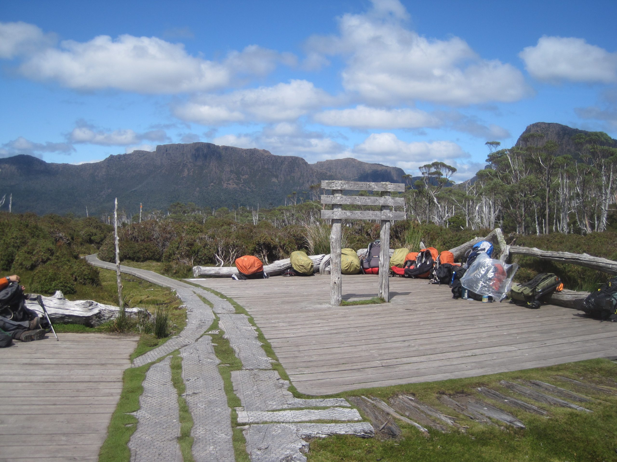
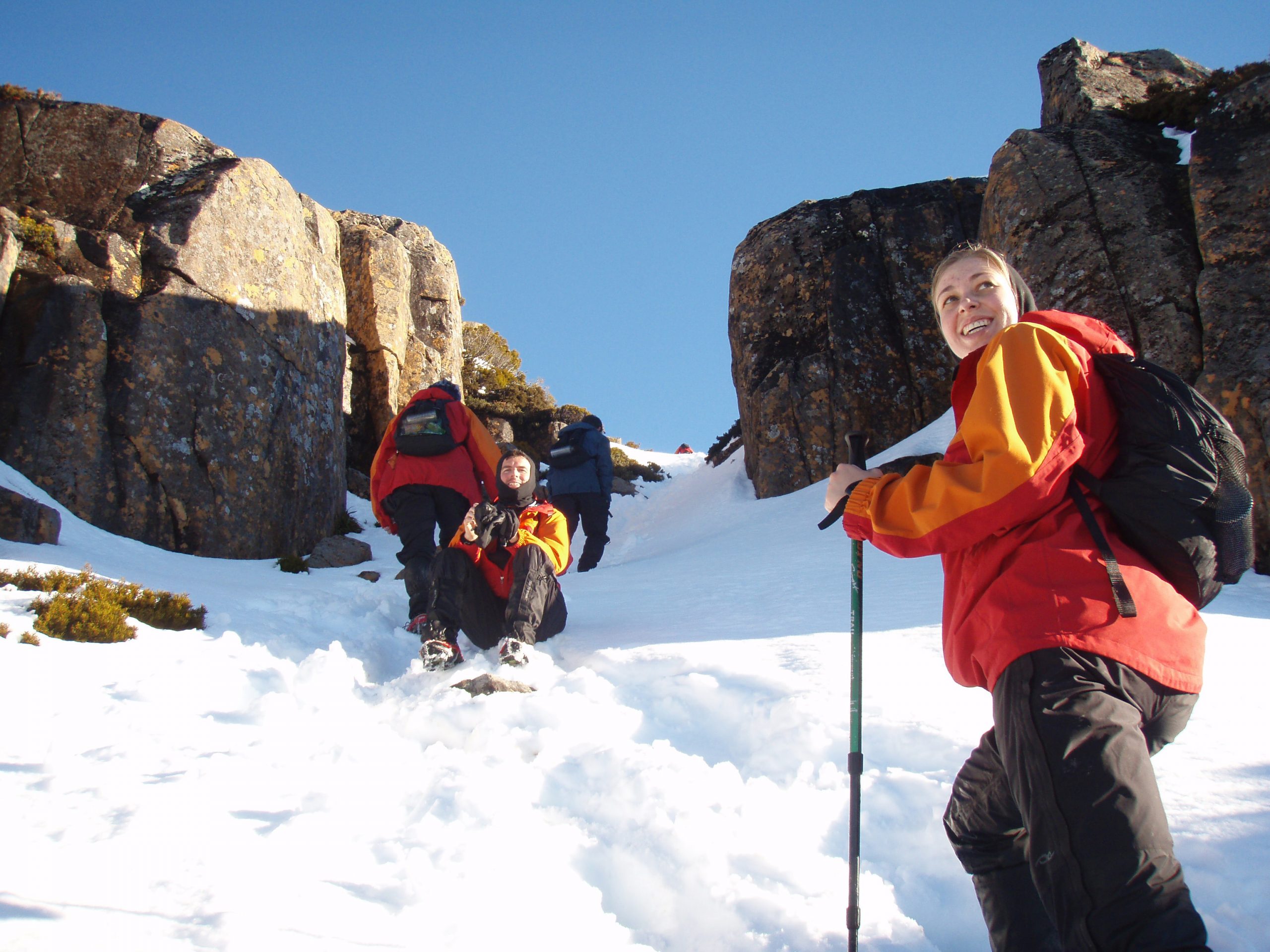
Our day will start with a gradual climb up through the eucalypt forests above our camp, which steepens through patches of rainforest until we reach the exposed but stunningly scenic Pelion Gap. From here, those who are keen can take the 4-5 hour side trip (with day packs) to Mt Ossa, Tasmania’s highest point. The climb up is very steep, and will involve plenty of scrambling but is highly recommended for those looking for a challenge. From Pelion Gap the track descends gently down through the beautiful Pinestone Valley, before a steep pinch into the dry sclerophyll forests where the evening’s camp (Kia Ora) is located.
Day Five
Distance: 10 km
Estimated Time: 4-5 hours + optional side tracks
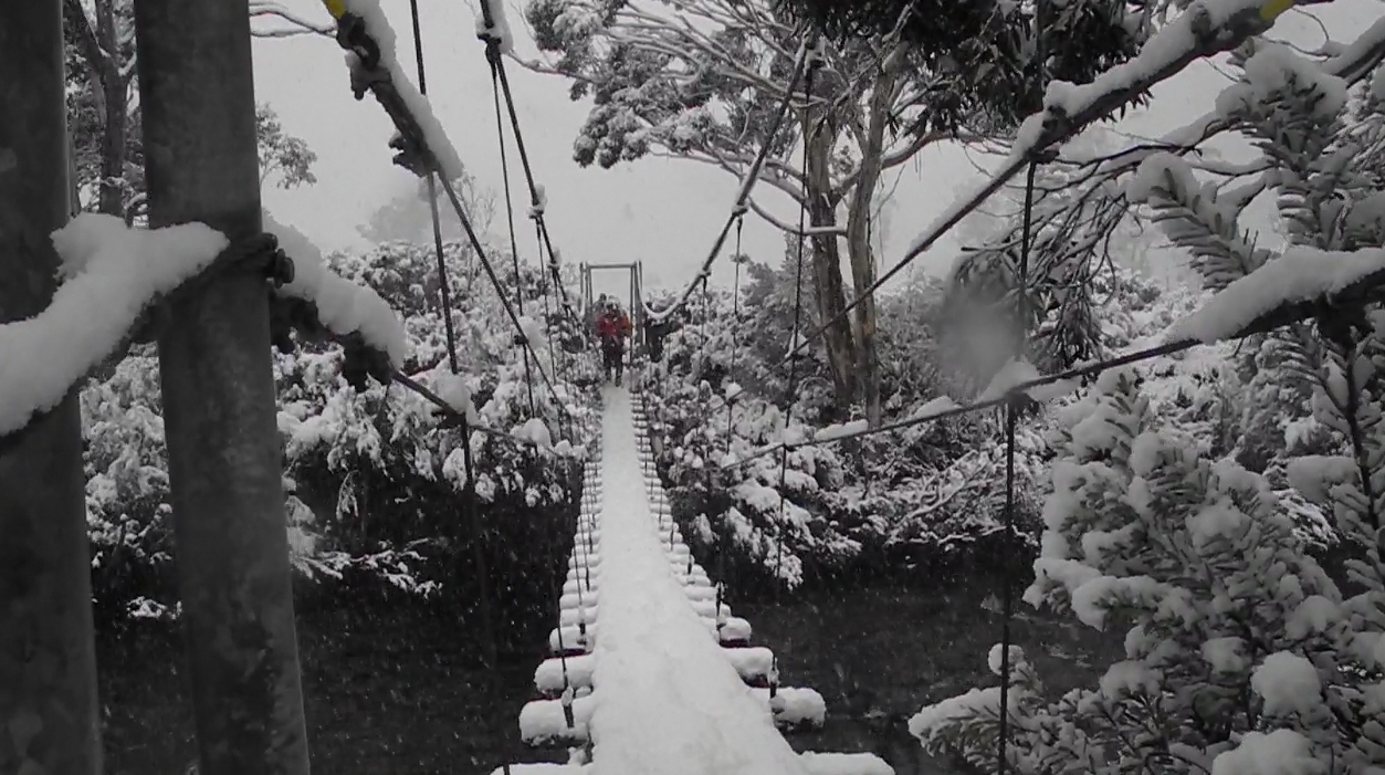
Today, in contrast to previous days, we enter a world of rainforests and waterfalls. An hour or so after setting out we emerge from the forest briefly at historic Ducane Hut under the impressive spires of Falling Mountain. After a break at the hut we step back into the rainforest and travel parallel to the Mersey River. From here to Windy Ridge campsite, involves a climb through ‘Ducane Gap’ and takes a further hour and a half- two hours. Not far, and on nice afternoons we can take our time among the rainforest giants.
Side Track: We drop packs for a longer exploration and to visit some picture perfect and often spectacular waterfalls along the Mersey River.
Day Six
Distance: 9 km
Estimated Time: 3 hours
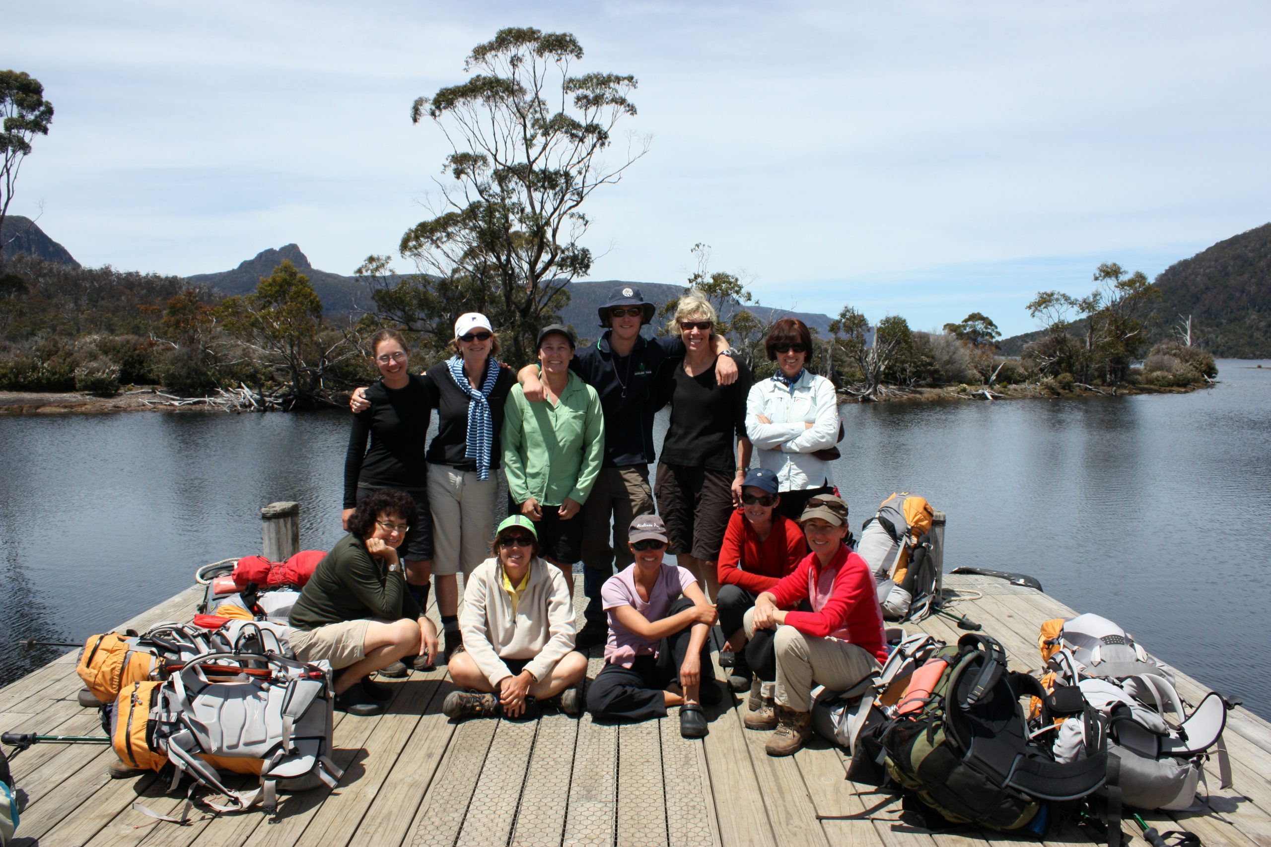
You will have noticed another change in the terrain the previous afternoon. From Windy Ridge down onto Lake St. Clair the country is drier with more eucalypts, wattles, banksia and hakea, and a plethora of understory flowering plants, often with a corresponding increase in birdlife. We catch views of the spires of Mt. Geryon, The Acropolis and back to The Ducane Range, usually reaching the lake around 11am and the end of the walk, on the jetty . From here a ferry takes us to Cynthia Bay, where we will meet the bus (and your luggage). After a well earned burger at a nearby cafe, we will jump on the bus and drive for 2.5/3 hours back to your drop-off location.
Our listed tour prices includes:
- Pre-trip planning and advice.
- Transport to/from trail-head from Hobart
- Comprehensive equipment – High quality gear that will keep you safe in all conditions. You’ll need to bring your own footwear and some personal clothing (socks, underwear, baselayers and a fleece).
- All permits and insurances as required (we recommend you also obtain some form of additional personal travel/property insurance).
- All meals provided and prepared for the duration of the tour (most diets can be catered for, just ask).
- Experienced guides who carry all meals, group equipment, communications and safety gear).
- Resupply drops along the track.
- Support personnel.
Our gear selection has been finetuned through decades of experience and experimentation in Tasmanian conditions. We use high-end, lightweight products that strike the perfect balance between weight, functionality and comfort.
A 9-10kg pack weight (without water) is achievable by sticking closely to our recommended gear list. You are welcome to bring your own alternative equipment and discuss its suitability with our guides. It is advisable to bring any extra personal items you are unsure taking, as we can store unwanted items until the end of the trip.
Gear Provided
- Tent (twin- share or single)
- Groundsheet
- Backpack (50L -internal frame pack and liner bag)
- Mattress (insulated/inflatable)
- Sleeping Quilt (-9c, high-loft down, water repellent.
- Sleeping bag liner (silk)
- Waterproof Jacket (Goretex or Event jacket with hood)
- Waterproof over-pants
- Head-torch (Small LED headband torch & attached whistle)
- Water bottle (1L).
- Meal kit (bowl/plate/mug/spork).
- Toilet roll & hand sanitiser.
- Insulated jacket (or your own equivalent, preferably down or synthetic insulation)
- Fleece mittens
Optional Gear Provided:
These are included in the tour price
- Gaiters (nylon boot & sock covers)
- Day pack (lightweight / ultra-packable 20L backpack for optional side-trips)
- Crocs (camp shoes)
- Wash basin (personal basin to collect water for washing)
- Walking Poles (recommended if you have any former lower leg or balance issues)
Personal Items:
- Walking boots/shoes (these should be comfortably worn in, but not so old that glue failure is a risk. Low cut shoes are acceptable for those used to bushwalking in them, however they may not be compatible with gaiters.)
- Long pants or shorts (synthetic fibers are best, NOT COTTON as it is slow to dry and saps warmth)
- Underwear
- Thermal top and bottoms
- Shirt for walking (synthetic or wool, NOT COTTON as it is slow to dry and saps warmth)
- Light fleece or wool jacket (for walking on colder days)
- Socks- 2-3 pairs (NOT COTTON, one pair to be kept dry for evenings)
- Sun hat
- Beanie
- Toiletries (please do not bring soap)
- Toothbrush and toothpaste
- A small tube of sunscreen
- Personal medications/sanitary items*
*Please bring personal pain relief. Also consider personal antihistamines, diarrhoea medications and electrolytes (in addition to more specific personal medications). Guides carry bandages, tapes and dressings as well as some emergency medications.
Most Tasmanian walkers and don’t use water purification products, as water sources in wilderness areas are generally safe. However you are welcome to bring them for peace of mind (tablets will suffice).
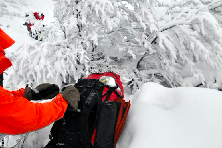
The Overland Track Experience is achievable for most moderately active people. It requires no specific skills or experience and the itinerary is designed to allow everyone to walk at their own pace. However, some may find the track more challenging than expected due to its terrain, rough surfaces and the novelty of carrying a pack. While the Overland is relatively easy by Tasmanian standards, and has seen significant improvements in recent decades, it is substantially rougher than many other “path” style trails. Roots, rocks, mud and hills mean that progress is often slow and days may be harder than their relatively short distances would suggest. Adverse weather can also make the trip more challenging both physically and mentally, especially on the first few days when the terrain is more exposed and your body is still adjusting to the routine of walking.
We classify the Overland Track as a Easy/Moderate walk. Some of the days walking fall into the “easy” category while some are most definitely “moderate”. These gradings do not include side-trips, which are often steeper and significantly more challenging than the main track (although they are done without a full pack).
Please note that the gradings used are specific to the tours we run in Tasmania. There is no universally recognised grading system for walks, and what we categorise as “easy” could be substantially more challenging than a walk that is labelled as “hard” elsewhere.
Easy
Easy walks are on well formed tracks, with generous time frames and relatively short distances. Elevation gain per day is usually modest (less than 400m) and any steep sections will be short and technically easy. While the tracks covered might not be manicured paths, they require no technical skills or prior experience and should be comfortably manageable for first time walkers with a basic level of fitness.
Moderate
Moderate walks are on tracks that are rougher underfoot and require bigger days. Roots, broken rocks and shallow mud will be encountered, and walkers will need to move slowly and carefully. There will be more time spent walking each day (6 hours or more) and longer distances will be covered (above 15 km). Elevation gain will be greater (more than 400m) and there may be sustained, steeper sections where hands are needed for balance. There may be exposed sections of track where the full force of bad weather will be felt. These walks are suitable for adventurous first-time walkers with a moderate level of fitness.


